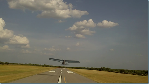
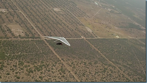
This place has given us incredibly enjoyable flying at cloudbase for the first 3 days. Day 1, the tug arrived at 1 and they hussled it together so we could take to the skies. I was first, and was a bit hesitant b/c I’m still anxious around aerotowing for some reason. Anyway, forgot to buckle my outside buckle and then, the zipper blew out so I’m towing up with weird thoughts and strange feelings hanging by my armpits! Anyway, got it buckled after completing the tow and then I could relax a bit. Needed to adjust my new helmet suspension thing too b/c it was a skosch tight.
But it was perfect to get a late day flight to test out that and the Garmin Rino’s. Got to cloudbase in the first climb and then the sea breeze came in. Gets windy like a cold front but this was maybe maxing out at 22ish on the ground. It just wipes out all the lift. I enjoyed the liftless ride down from 8 or 9,000 ft. And the view. And the 68 degree temp up there, while it was over 100 on the ground!
They say this place always has a strong S wind. And on the second day, our launching towards the North was the second time Gary can remember them launching that direction in 9 or so years. And these conditions haven’t been all that great he says. Dustin said it too when he got there yesterday.
Davis emailed the waypoints around here to everyone and helped me figure out which one’s were FAI 25, 50, and 100km triangles. Beautiful. So Saturday, I set off to try getting the 25km triangle and to get familiar with the area/thermals/clouds. I flew around it as many times as I could, learning ways to make it faster. First circuit was 41 minutes around. Not the 30 minutes I needed and it was a little depressing. But the day and the clouds and the cloud streets kept building. By the 3rd circuit around, I was able to avoid making more than just a few turns and screamed around the course in my Atos VR.
Hindsight is 20/20, but I could have burned more altitude via speed on the way back and I could have omitted some/all of my circling. For a 25km triangle, you have to return to your start point no less than 2% below or 1600ish feet. I think I could have shaved a minute off my time. Looks like I did the 25km in 27:34 at 54.6km/hr. The record was 50.4km/hr.
More to write and talk about. The next day was a new record too. Not flying with the video cam unfortunately but I wish I could show you guys what it’s like to have Gary Osoba running aerobatic’s in his Woodstock all around you as we finish the last 400ft to cloudbase. Magic. Kent Robinson joined us in a thermal too. That guys a riot!
I need to get some rest. Later… Sorry no pictures, my “Snag-it” program isn’t taking the screen shots right! I’ll get some great pictures out here when I can.


Leave a comment